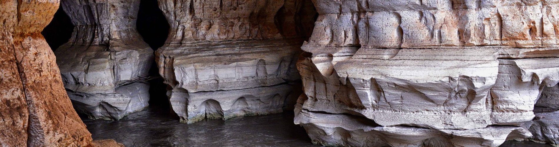
In the lowlands of Bale, the Weyb River disappears into a limestone hill and flows out again downstream. The caves it carved at Sof Omar run for some 15 kilometres and draw pilgrims.
A river that went underground
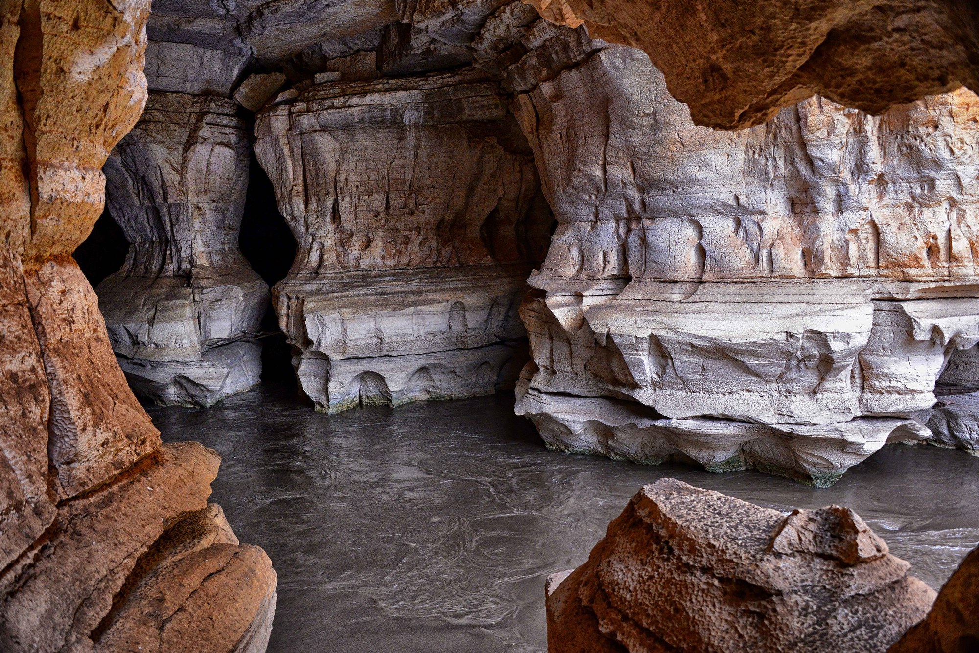
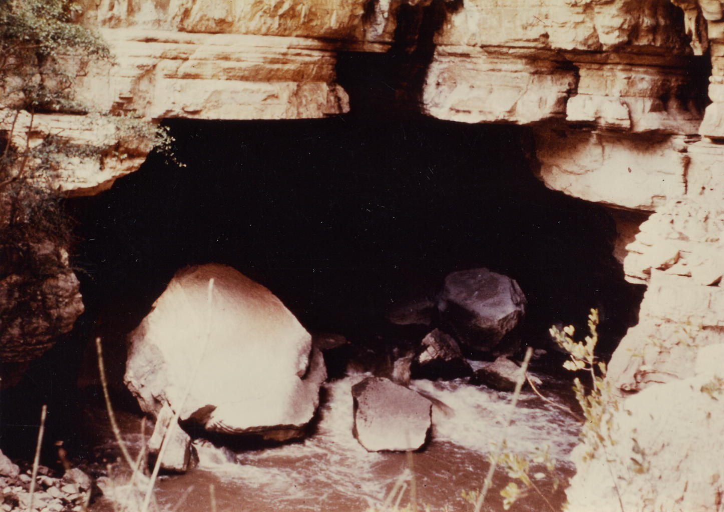
The caves lie about 400 kilometres southeast of Addis Ababa, according to the evaluation by IUCN, the World Heritage Committee’s adviser on natural sites. The river, which UNESCO documents spell Weib, rises in the Bale Mountains, crosses a broad farmed middle stretch and passes through the cave before draining southeast into the Ganale Dorya. IUCN describes a cave more than 15 kilometres long, formed in Jurassic limestone whose flat layers and joints shaped its passages. Where the river once flowed on the surface there is now a dry valley.
The ICOMOS evaluation names the main entrances as Ayyo Makko upstream and Holqa downstream, and says more than 40 other entrances open in the cliffs along the river; IUCN counts more than 50. The village of Sof Omar sits above the caves, and visitors enter from there. Inside is the Chamber of Columns, which ICOMOS describes as having “balconies” of limestone stalactites 20 metres long.
A saint, a mosque and a pilgrimage
The caves take their name from Sheikh Sof Omar Ahmed. According to the description Ethiopia submitted to UNESCO in 2011, he took refuge here around the early eleventh century. The same text says the caves were sacred before Islam reached Bale, in a local belief that powerful spirits lived in old trees, boulders and caves, where people prayed and made sacrifices. It says signs of those older practices survive inside the caves.
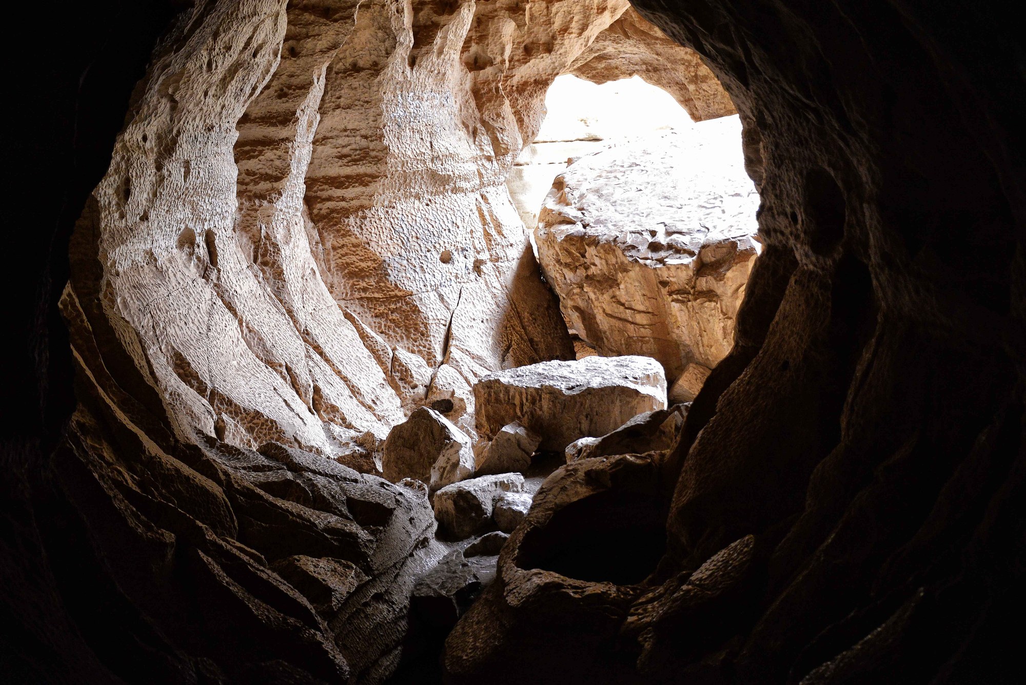
ICOMOS reports that ceremonies are held twice a year in the first few chambers near Ayyo Makko and in a stone enclosure outside. Pilgrims believe the rituals can heal, and they come in their thousands: Oromo people of Bale, and also Amharas, Hararis and Somalis, with others travelling from Shewa, Arsi, Wollo and Jimma. The first chamber serves as a mosque. A third is believed to have been dug out by God to hide the saint. A broken limestone column near the river’s sink carries the name of Ayyo, his daughter, and a domed chamber near the Ayyo Makko entrance is believed to be the mosque of his son, Usuma Abdi.
A visitor in 1894
One early written account comes from the explorer Arthur Donaldson Smith, in his 1897 book Through Unknown African Countries. He reached the caves on 25 October 1894, after a march of four hours, and found the river rushing 200 feet below the edge of the gorge. He compared the columns and arches to white marble carved by the Cyclops, and wrote that the Somali members of his caravan were so convinced it was the work of God that they broke into prayer.
Following the local way in, his party lowered themselves through a hole into a dark chamber where, he wrote, sacrifices had evidently been offered for generations. Beside a large fireplace hung offerings to Wak: wooden vessels, strings of cowry shells, sheepskins and leather straps. He named the place the Caves of Wyndlawn, after his old summer home near Philadelphia.
Mapping the caves
The 1972 British Speleological Expedition to Ethiopia mapped the caves. Its survey map, now on Wikimedia Commons in a colour version, records a survey in March 1972 and a cave length of 15.1 kilometres. IUCN uses the same figure, and notes that a 2008 study by Waltham counted Sof Omar among the great caves of the world, but that by length it ranks only 306th.
A World Heritage bid
Ethiopia placed Sof Omar on its tentative list for World Heritage on 14 December 2011, through the Ministry of Culture and Tourism and the Authority for Research and Conservation of Cultural Heritage. It later nominated the site for both its natural and its cultural value, and inspectors from IUCN and ICOMOS visited in October 2019. The proposed property covered 793.02 hectares, with a buffer zone of 1,307.35 hectares.
Both advisers recommended against inscription. IUCN judged the caves important at national and regional level but not exceptional worldwide, and pointed to graffiti, extensive electrical cabling in the cave and poor waste management. ICOMOS found too little documentation to establish the cultural values, and listed pressures including village expansion, livestock, farming above the caves and vehicles on roads over the cave system. It also noted that a chamber had collapsed in the relatively recent past, for reasons not yet known.
In 2021, at the extended 44th session of the World Heritage Committee, the nomination was withdrawn at Ethiopia’s request. Sof Omar still appears on Ethiopia’s tentative list on the UNESCO website.
Sources
- UNESCO World Heritage Centre, Tentative Lists: Holqa Sof Omar: Natural and Cultural Heritage (Sof Omar: Caves of Mystery)
- IUCN, World Heritage evaluations 2020 (WHC/21/44.COM/INF.8B2), Holqa Sof Umar: Natural and Cultural Heritage (Sof Umar: Caves of Mystery)
- ICOMOS, Evaluations of nominations of cultural and mixed properties (WHC/21/44.COM/INF.8B1), Holqa Sof Umar
- UNESCO World Heritage Committee, Decision 44 COM 8B.10
- Arthur Donaldson Smith (1897), Through Unknown African Countries, pp. 82 to 91, Internet Archive
- Survey of Sof Omar Cave, 1972 British Speleological Expedition to Ethiopia, Wikimedia Commons