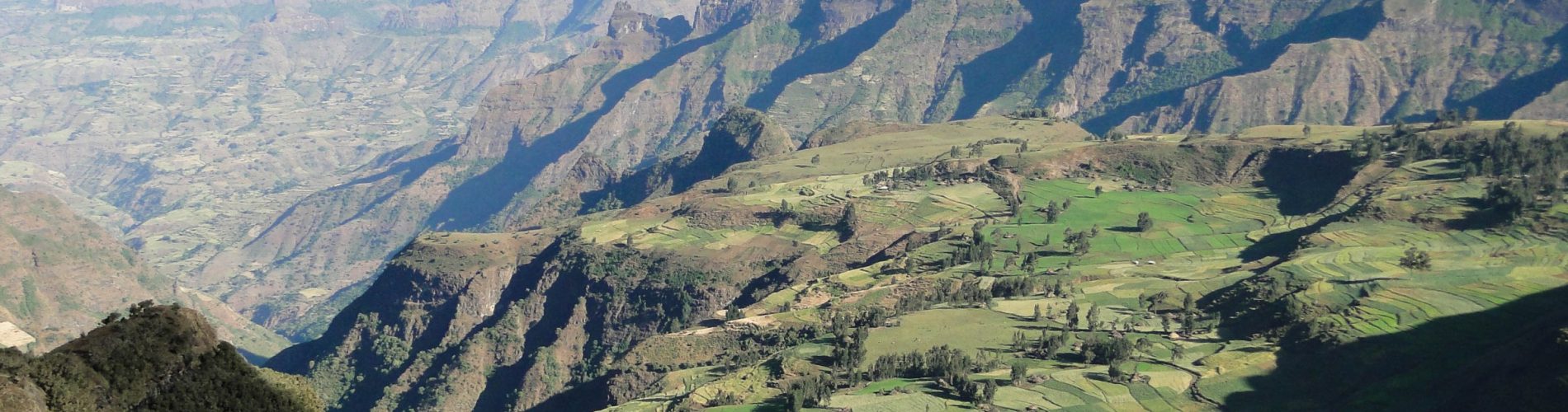
According to the UNESCO World Heritage Centre, Simien National Park in northern Ethiopia was shaped by long erosion into sharp peaks, deep valleys and cliffs that drop as much as 1,500 metres. UNESCO places the park in the Simien massif, on the northern edge of the main Ethiopian plateau, and says it includes Ras Dejen, Ethiopia’s highest point. One northern cliff wall runs for about 35 kilometres.
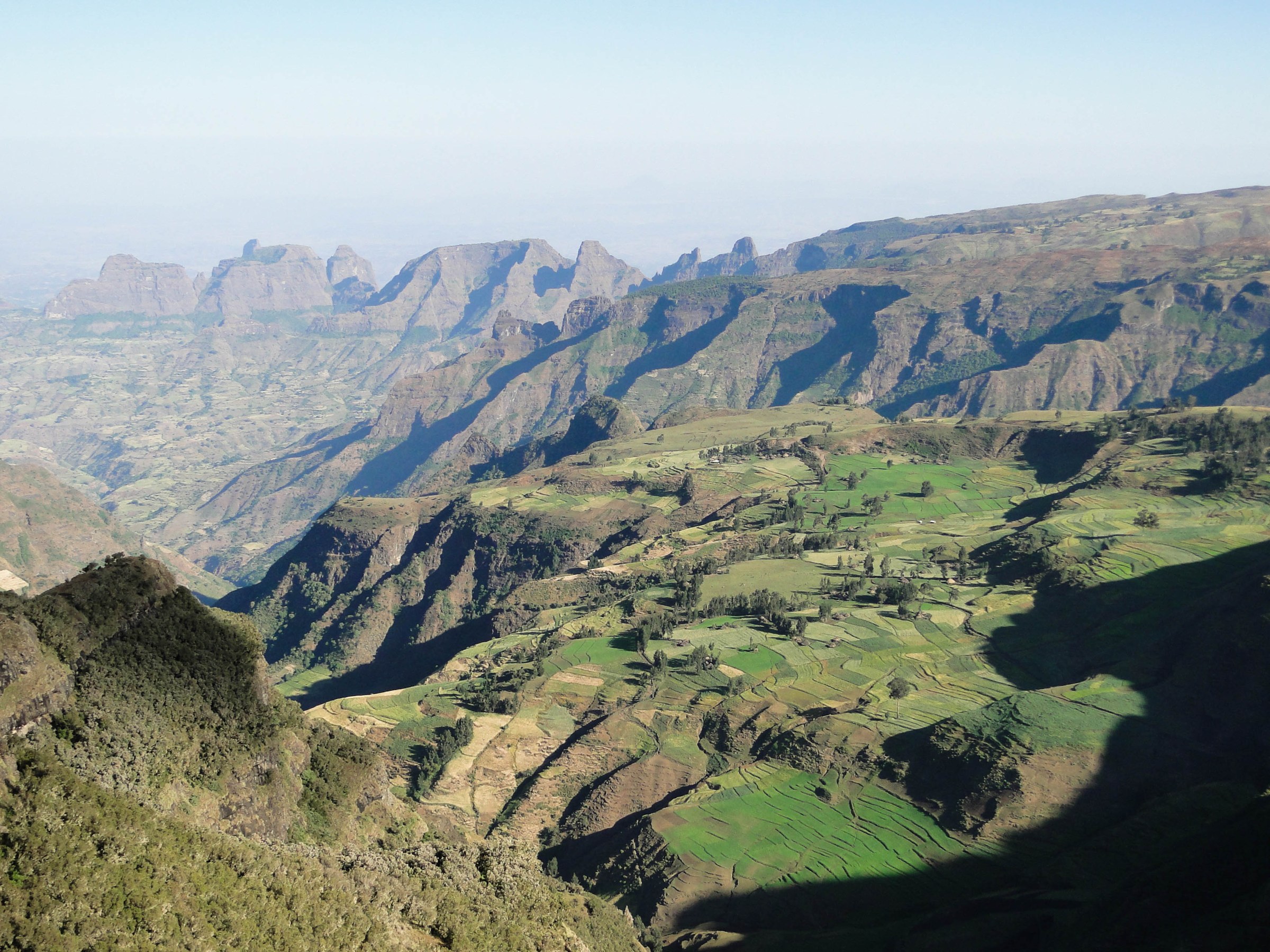
A park created for a mountain goat
UNESCO records that the national park was established in 1969 and inscribed on the World Heritage List in 1978. The Ethiopian state of conservation report of 2017 to UNESCO states that the park was created with the primary aim of protecting the Walia ibex, a wild goat found only in the Simien Mountains, whose world population at the time was fewer than 130 individuals. UNESCO describes the Walia ibex as endangered and endemic to the mountains, and names the Ethiopian wolf, also called the Simien fox, and the gelada baboon as other flagship species. In total, UNESCO says, over 20 large mammal species and over 130 bird species occur in the park.
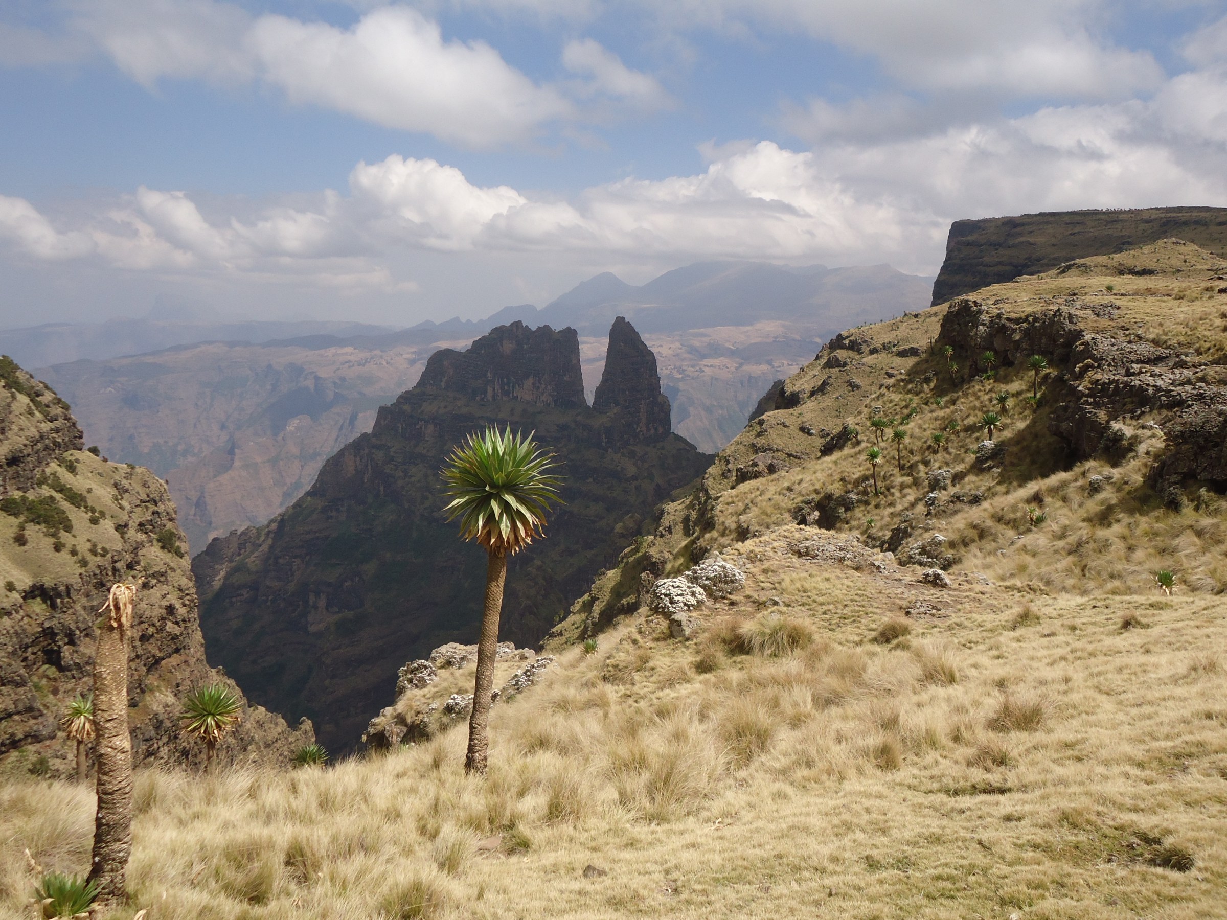
Listed as in danger, then removed
The UNESCO news release of 4 July 2017 says the park was added to the List of World Heritage in Danger in 1996 because of the impact of a new road across it, excessive cattle grazing, agricultural encroachment and a drop in Walia ibex, Simien fox and other large mammal populations. On 4 July 2017 the World Heritage Committee, meeting in Krakow, decided to remove it from that list, citing improvements in management and measures to reduce overgrazing and visitor impact. In Decision 41 COM 7A.13, the Committee noted the possible increase in Walia ibex and Ethiopian wolf populations and asked Ethiopia to develop agreed monitoring protocols. The Ethiopian report gives the Walia ibex count as rising from fewer than 250 in 2006 to close to 950 in 2017, and says that number still needed independent confirmation.
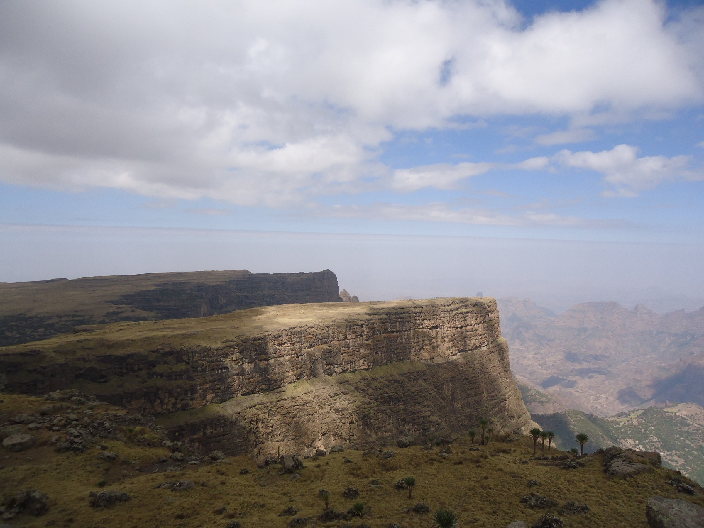
People and the mountains
UNESCO notes that the park was established in an area inhabited by people and that, when it was inscribed, 80 percent of it was under human use of one form or another. It lists human settlement, cultivation, soil erosion around the village of Gich, frequent fires in the tree heather forest and excessive numbers of domestic stock among the threats to the park. The 2017 Committee decision notes that the voluntary relocation of the Gich community has been completed and that work on alternative livelihoods was under way. UNESCO also says the pressures on the property are likely to increase further as a result of global climate change.
Sources
- UNESCO World Heritage Centre, Simien National Park
- UNESCO World Heritage Centre, Ethiopian World Heritage site, Simien National Park no longer in danger, 4 July 2017
- World Heritage Committee, Decision 41 COM 7A.13, 2017
- Ethiopian state of conservation report on Simien National Park, 2017, hosted by UNESCO