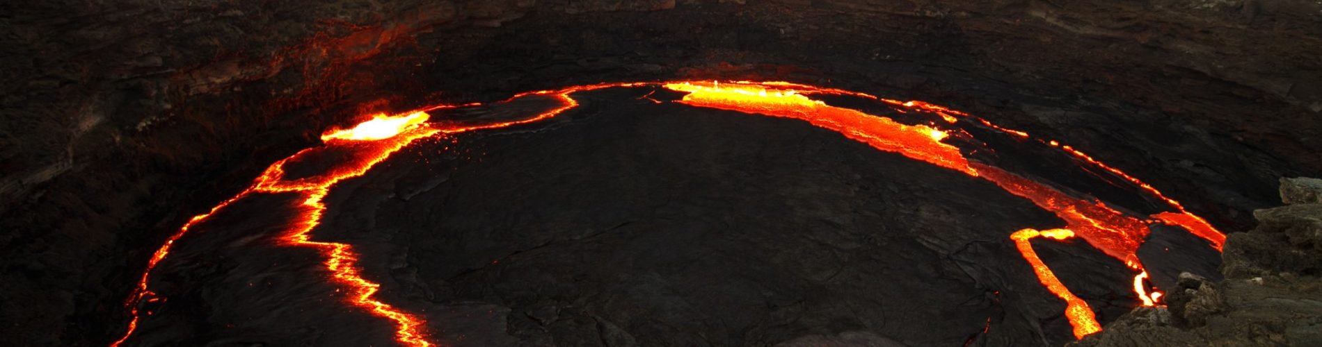
Erta Ale, a low volcano in the Danakil Depression of the Afar Region, has kept a lake of molten lava in its summit crater for decades, watched by scientists since the 1960s.
A shield volcano below sea level
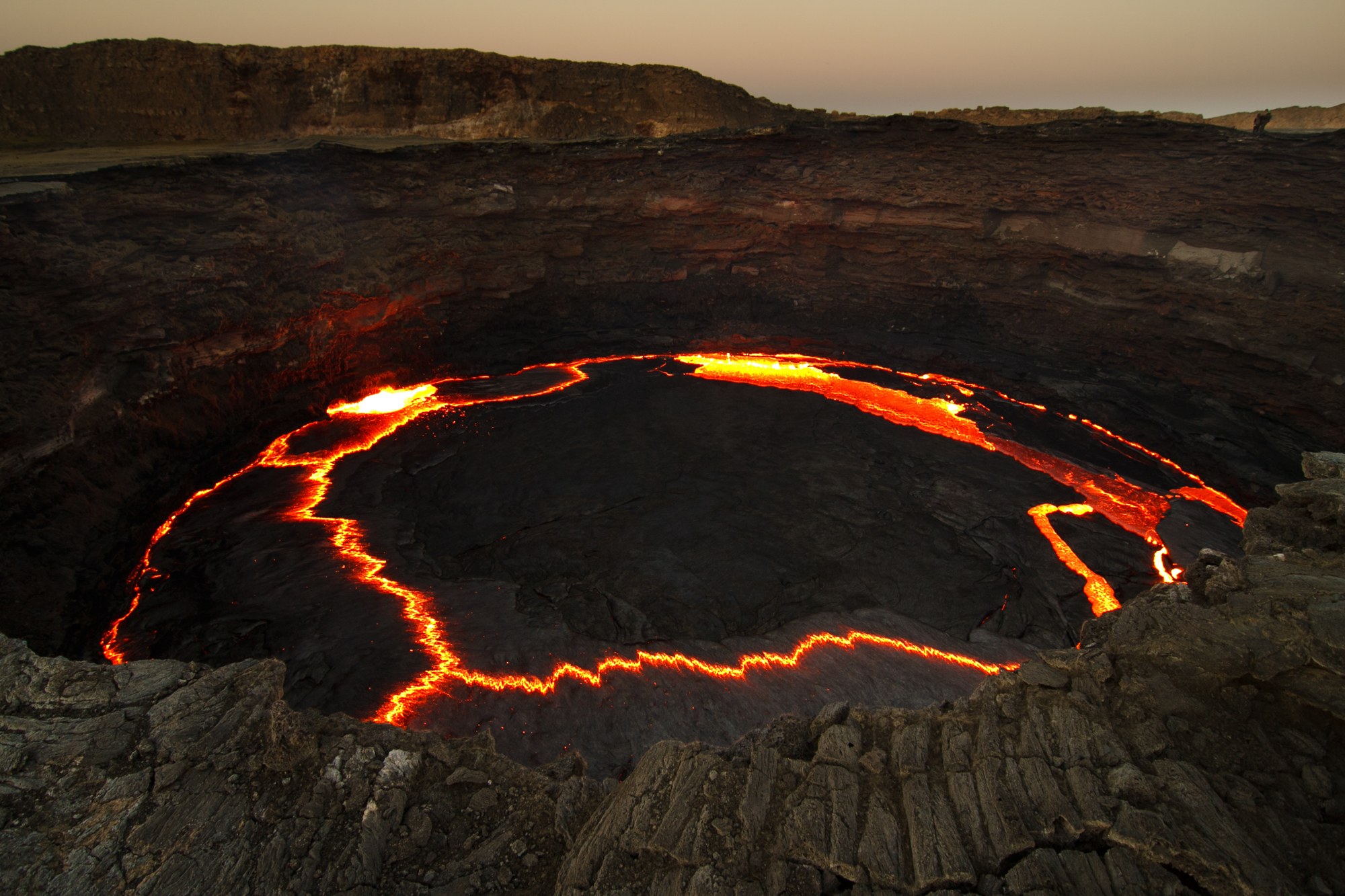
The Smithsonian Institution’s Global Volcanism Program describes Erta Ale as a basaltic shield volcano with a base about 50 kilometres wide that rises more than 600 metres from below sea level in the Danakil Depression. Its summit crater, roughly 0.7 by 1.6 kilometres, holds steep sided pit craters, and a larger depression lies to the southeast. The programme puts the summit at 585 metres and lists the last known eruption in 2025.
NASA Earth Observatory places the volcano near the border between Ethiopia and Eritrea, in a region where three tectonic plates are separating, and calls it one of the most active volcanoes along those seams. In the Afar language, it notes, Erta Ale is known as the smoking mountain, and also as the gateway to hell.
A lake watched for decades
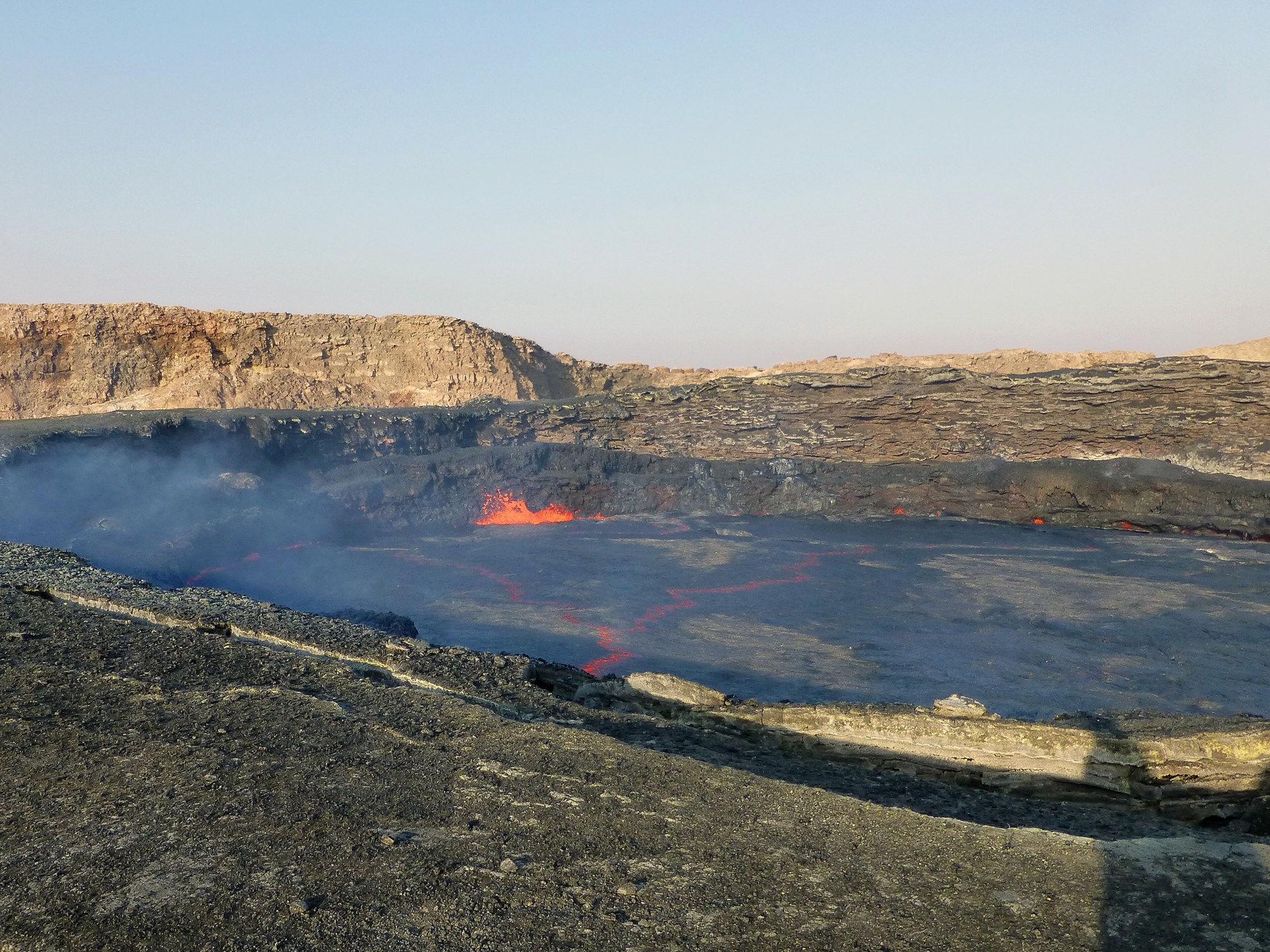
According to the Global Volcanism Program, the summit caldera usually holds at least one lava lake, active since at least 1967 and possibly since 1906. Its archive of bulletin reports from the early 1970s quotes the CNRS and CNR research team working in the Danakil Depression, which had observed the crater every year since 1967. The team described two pit craters, one small and one large, each holding a lake of molten lava, and wrote that in 1968 and 1969 the glow was hard to see by day but striking at night.
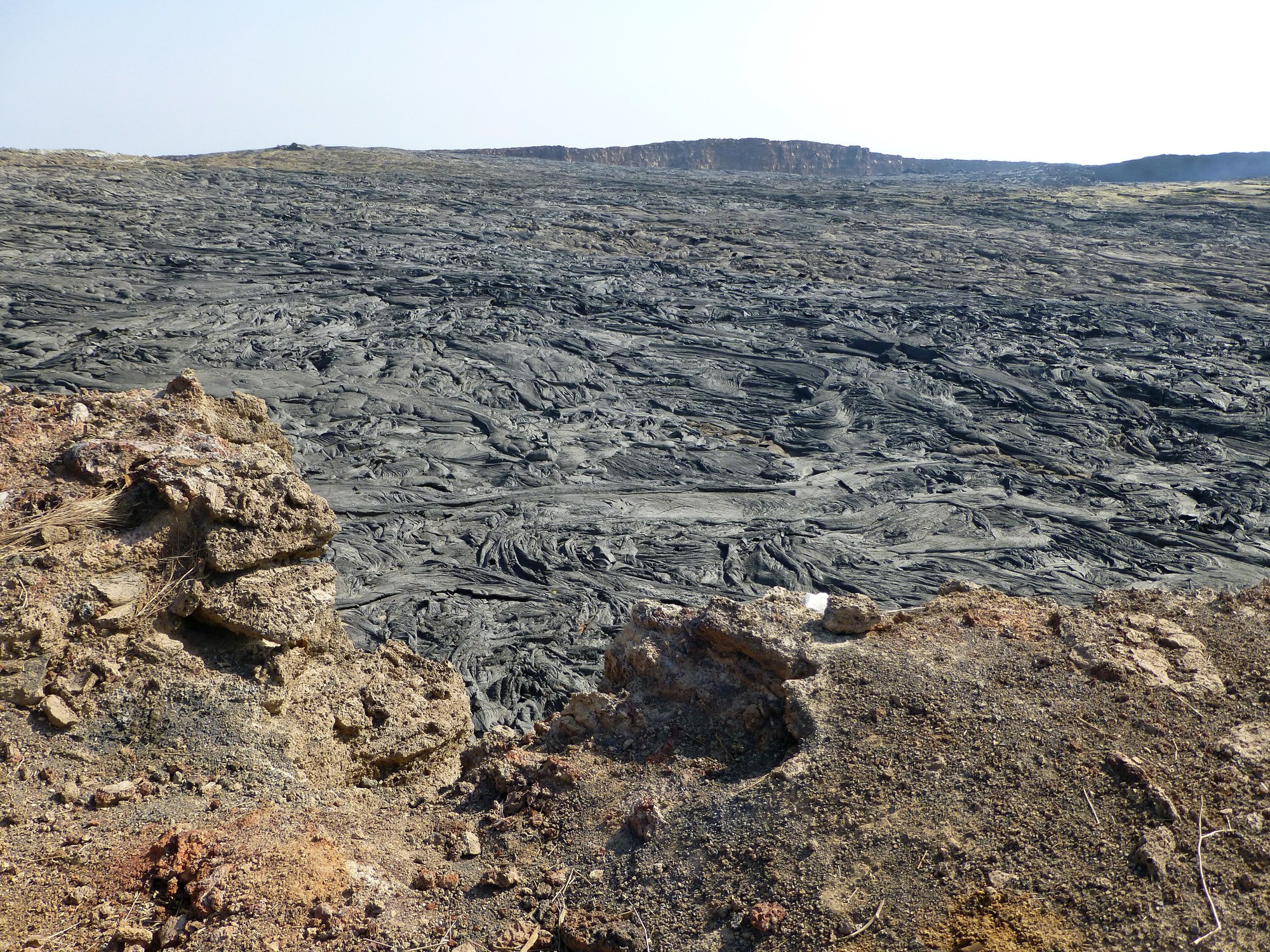
The same reports record that two teams from a United Nations Development Programme geothermal project, one of them including Getahun Demisse, spent a night at the crater in March 1971. By 1973, lava overflowing from the central pit had filled the summit depression and covered the southern flank of the volcano with flows several kilometres long.
An eruption seen from orbit
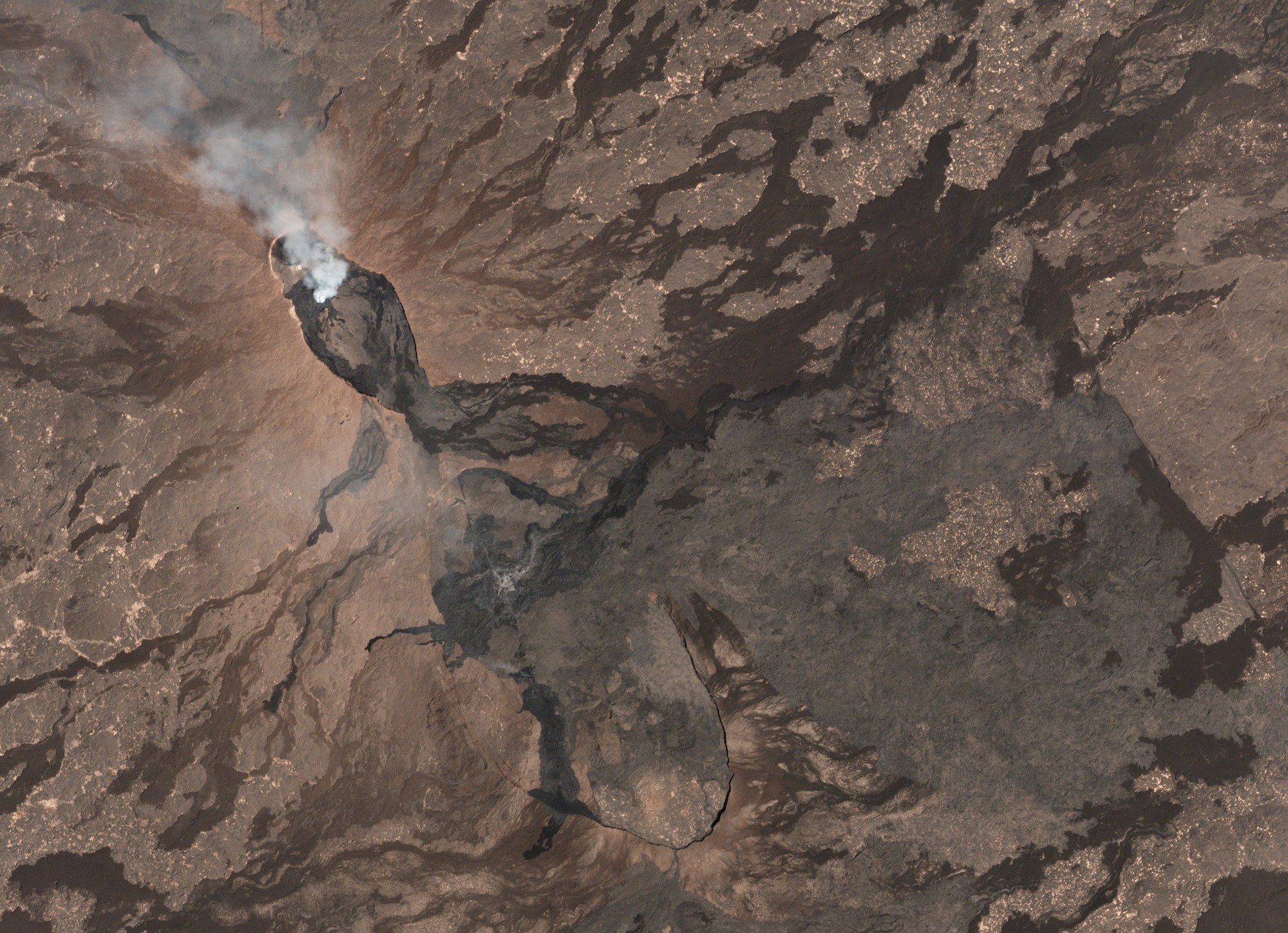
A new phase began in January 2017. The Global Volcanism Program reports that lava output rose sharply from 17 January, followed by ash emissions and collapses inside the craters, and that on 21 January a fissure opened on the southeast flank about 4 kilometres from the caldera. Lava from the new vents ran several kilometres to the northeast and southwest, and the lake in the South Pit crater was reported to have dropped by 80 to 100 metres as magma drained toward the flank.
Satellites followed the eruption. NASA Earth Observatory published a Landsat 8 image from 26 January 2017 in which infrared hot spots marked two separate lava flows, and NASA’s Earth Observing 1 spacecraft imaged the fissure on 24 January, showing lava fountaining from a crack in the ground.
A window on a spreading rift
Erta Ale also matters to scientists who study how continents split. In a 2012 study in Nature Geoscience, Carolina Pagli, then at the University of Leeds, and colleagues including Atalay Ayele, of Addis Ababa University at the time of that study, used satellite radar to show that a November 2008 eruption at Alu-Dalafilla, on the same volcanic segment, was fed from a long, shallow magma chamber about 1 kilometre deep. Chambers like this are well known beneath ocean ridges that spread quickly, the authors wrote, but much less evident where spreading is slow, as it is at Erta Ale.
Sources
- Smithsonian Institution, Global Volcanism Program: Erta Ale
- Global Volcanism Program: Erta Ale bulletin reports
- Global Volcanism Program: Report on Erta Ale (Ethiopia), July 2017
- NASA Earth Observatory: Fissure Eruptions on Erta Ale (28 January 2017)
- NASA Photojournal: NASA Spacecraft Watches as Eruption Reshapes African Volcano (23 February 2017)
- Pagli, C. et al. (2012), Shallow axial magma chamber at the slow-spreading Erta Ale Ridge, Nature Geoscience 5, 284 to 288